Prawn Farm Wetland
Raupō reedland and Machaerina sedgeland are the key ecosystems of the Prawn Farm Wetlands. These wetlands provide habitat for secretive wetland birds including matuku hūrepo (Australasian bittern) and mātātā (fernbird).
Size: 1.5 hectares
Site description
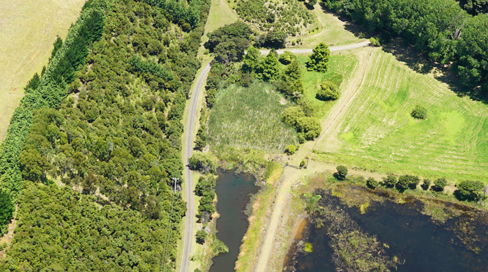
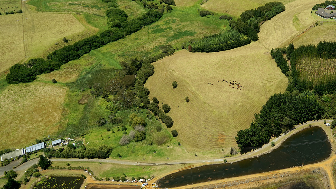
The Prawn Farm Wetlands biodiversity focus area is located next to Omokoiti Bay, on the east coast at the northern end of the South Head peninsula. It is located at Te Rau Puriri Regional Park, administered by Auckland Council.
There are two areas of wetland included here:
- a natural wetland on a coastal floodplain
- a wetland established in depressions created by earthworks during the formation of fish farm ponds.
Key ecosystems
The natural wetland is at the base of a steep, east-facing hillslope. The vegetation is raupō-dominated (WL19) with small patches of Machaerina sedgeland (WL11). The water table is high and the soil is peaty indicating slow decomposition of plant matter. On small raised mounds within the wetland there are small stands of kānuka, mānuka, cabbage tree and wheki.
The wetland drains into a nearby channelised watercourse, discharging at the beach, 200 metres away. The wetland is surrounded by pasture with some exotic trees and kānuka to the north and west.
The wetland formed from historic earthworks is an artificially created pond with open water and naturalised wetland vegetation. There are patches of dense raupō reedland (WL19) and other areas where the native herb, swamp willow weed (Persicaria decipiens) is dominant.
Native fauna
The wetlands are likely to provide habitat for matuku hūrepo (Australasian bittern). The South Head peninsula is a regional strong-hold for this highly endangered species. They have a threat status of Nationally Critical. Mātātā (fernbird), weweia (dabchick) and kāruhiruhi (pied shag) have also been recorded here.