Lake Rototoa – Te Rau Pūriri
Size: 734 hectares
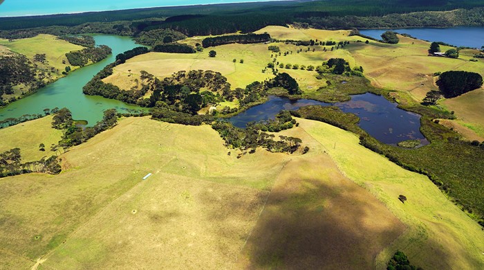
Site description
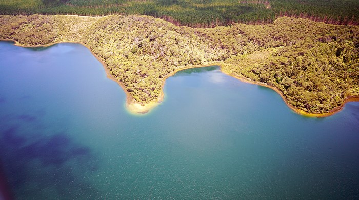
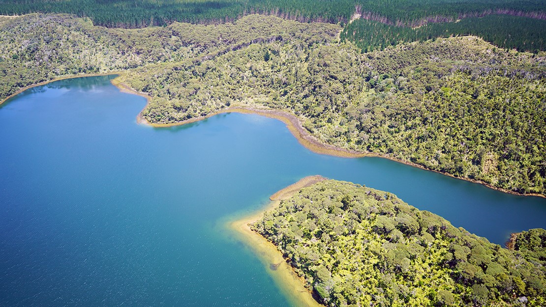
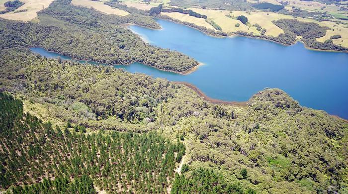
The Lake Rototoa – Te Rau Pūriri biodiversity focus area is situated towards the northern end of the South Head peninsula. It has the largest and deepest dune lake and the largest dune forest remnant on the peninsula. Raupō reedland and Machaerina sedgeland wetlands are found here, along with freshwater streams creating a connection to the inner Kaipara Harbour.
The biodiversity focus area includes Lake Rototoa Scenic Reserve, administered by the Department of Conservation and Te Rau Pūriri Regional Park, administered by Auckland Council.
Lake Rototoa is of high biodiversity value. It is recognised as a Significant Ecological Area and an Outstanding Natural Feature in the Auckland Unitary Plan.
Key ecosystems
Wetland fringes Lake Rototoa with a mix of raupō reedland (WL19) and Machaerina sedgeland (WL11). Common plant species include:
- raupō
- jointed twig rush
- kuta
- kuawa
- oioi
- and other native sedges and herbs.
When water levels are low, small patches of lakeshore turf (WL15) are revealed. This ecosystem has a regional threat ranking of Critically Endangered as there are only a few remaining examples of lakeshore turf in the region.
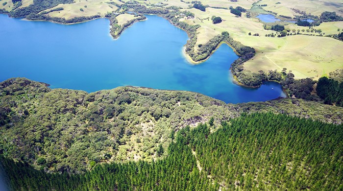
Dune forest (WF5) with a diverse range of plant species surrounds the lake on the northern and western side. The native forest provides a substantial buffer from the effects of nearby forestry activities. Common canopy species in the dune forest include:
- kānuka
- karaka
- pūriri
- titoki
- kahikatea
- tōtara
- ponga.
Other forest remnants within this biodiversity focus area are mostly regenerating kānuka forest (VS2). Feral deer have browsed all the dune forest areas lowering the overall plant species diversity here.
Key fauna
The open water of Lake Rototoa and surrounding wetlands support native bird species including:
- kāhu (harrier)
- kāruhiruhi (pied shag)
- kawau (black shag)
- kawau paka (little shag)
- kawau tūi (little black shag)
- kōtare (kingfisher)
- mātātā (fernbird)
- matuku (white-faced heron)
- pārera (grey duck)
- weweia (dabchick).
The wetlands surrounding the lake and throughout this biodiversity area provide important habitat for matuku hūrepo (Australasian bittern). This is a wetland bird with a national threat ranking of Nationally Critical.
Restoration actions
There have been recent efforts to reduce deer numbers and to control wilding pines around Lake Rototoa. Auckland Council undertakes possum control throughout the area as well as in other forest remnants in South Head.
South Kaipara Landcare is actively involved with pest animal control around the lake (and surrounding private land). Their efforts help to support forest regeneration and enhance biodiversity values.